Thread: @BNPB_Indonesia #Agung update by @Sutopo_BNPB
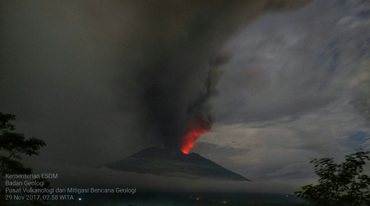
Magmatic eruption of Agung continues with ash plume heights to 2,500 - 3,000 m above the volcano.
facebook.com/HumasBNPB/post…
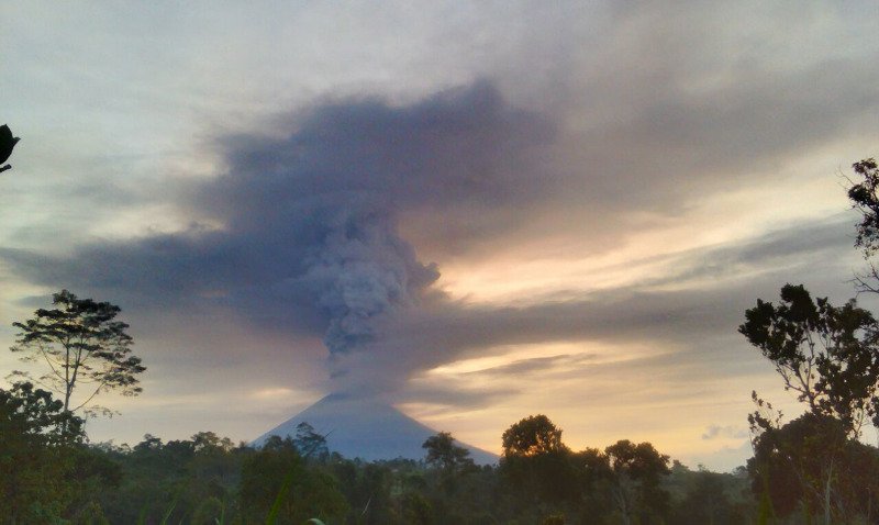
Magmatic eruption of Agung continues with ash plume heights to 2,500 - 3,000 m above the volcano.
facebook.com/HumasBNPB/post…
Incandescence from lava is visible in the crater at night. Tremor is continuous. Alert level remains at IV, the highest level.
PVMBG continues to record increasing volcanic activity. The potential for a larger eruption is increasing.
PVMBG continues to record increasing volcanic activity. The potential for a larger eruption is increasing.
• • •
Missing some Tweet in this thread? You can try to
force a refresh